The premise
Vertical feet
You know a place by how far it rises — and how far it falls.
Grow up in the mountains and vertical feet become the way you keep score. The trailhead sign says one number, the summit says another, and the difference is the day. You hike it, bike it, ski it, feel it in your legs. Elevation isn't abstract — it's effort.
Then one day you swim out over a drop-off, look down into water that goes dark before it goes anywhere, and realize half the terrain is missing from that scorecard. The mountain keeps going under the surface. Nobody hands you a sign with the number.
That number exists. Survey crews have been sounding Lake Tahoe for more than a century — first with weighted lines from rowboats, later with echo sounders tracing the lakebed in transects. The lake's terrain is mapped the way its peaks are mapped: measured, contoured, published, public.
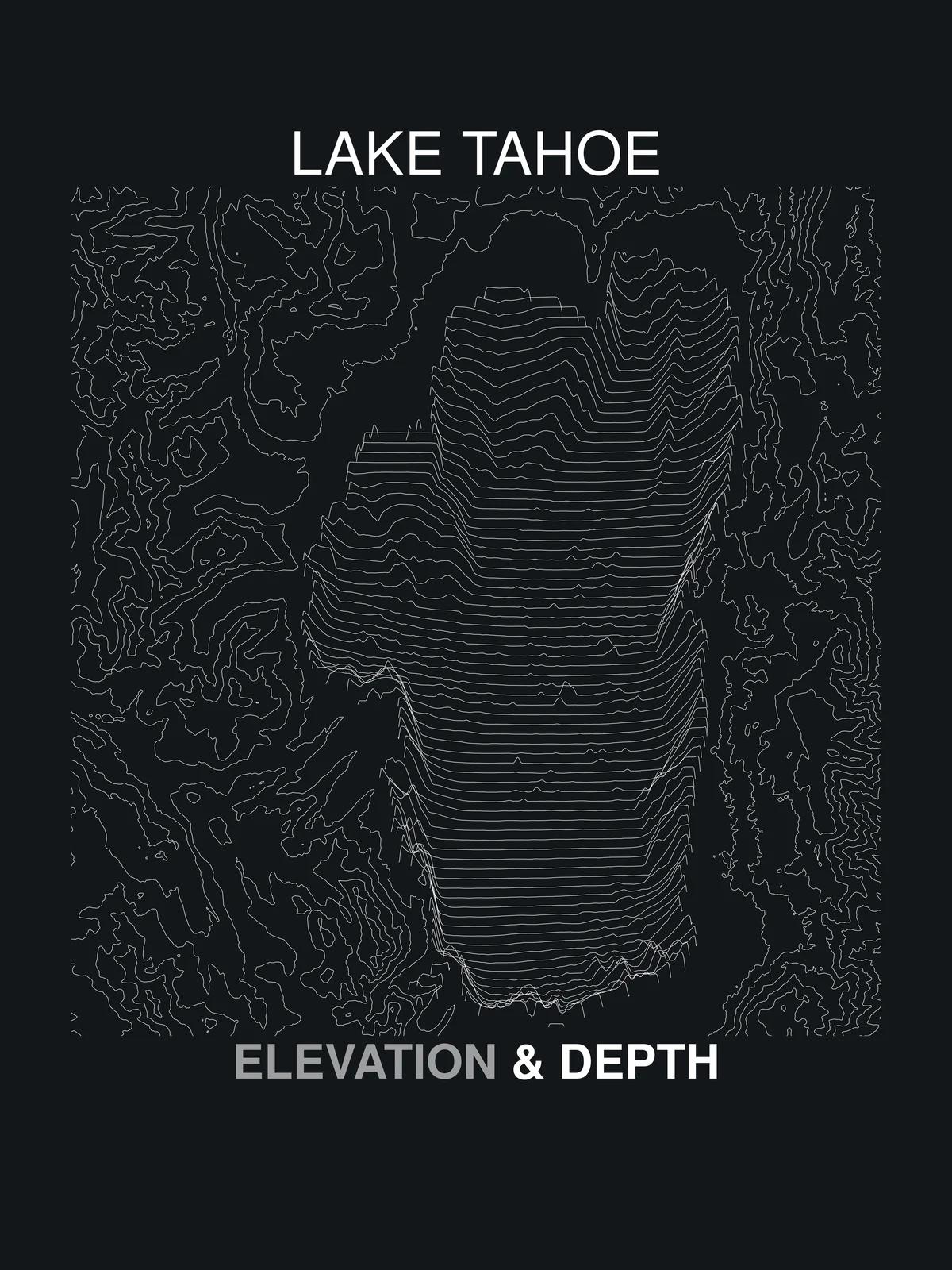
Terrain Theory is a study of that whole vertical column. Topographic contours for everything above the waterline; bathymetric soundings for everything below. Same discipline, both directions. We draw the two datasets into a single plate and print it — because the drawing itself, hairline by hairline, is the most honest portrait of a place we know how to make.
Every line on every plate is a measurement. Nothing is decorative. That's the theory.
Follow the soundings
New plates and new lakes, when the drawings are ready.