38°57′ N · 120°02′ W — Lake Tahoe basin
Terrain
Theory
A study of one lake, above & below the waterline.
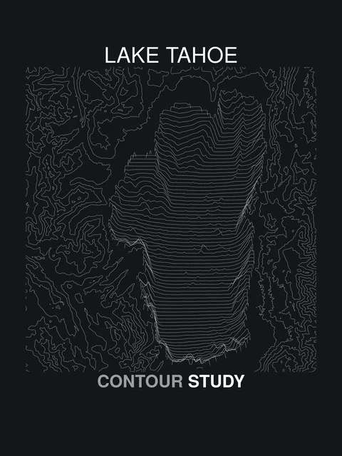
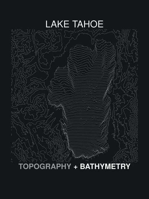
Five plates drawn from topographic and bathymetric survey data — the ridgelines that hold the basin and the soundings that fall away beneath it — printed on shirts and totes.
- Surface
- 6,225 ft
- Max depth
- 1,645 ft
- Plates
- 5
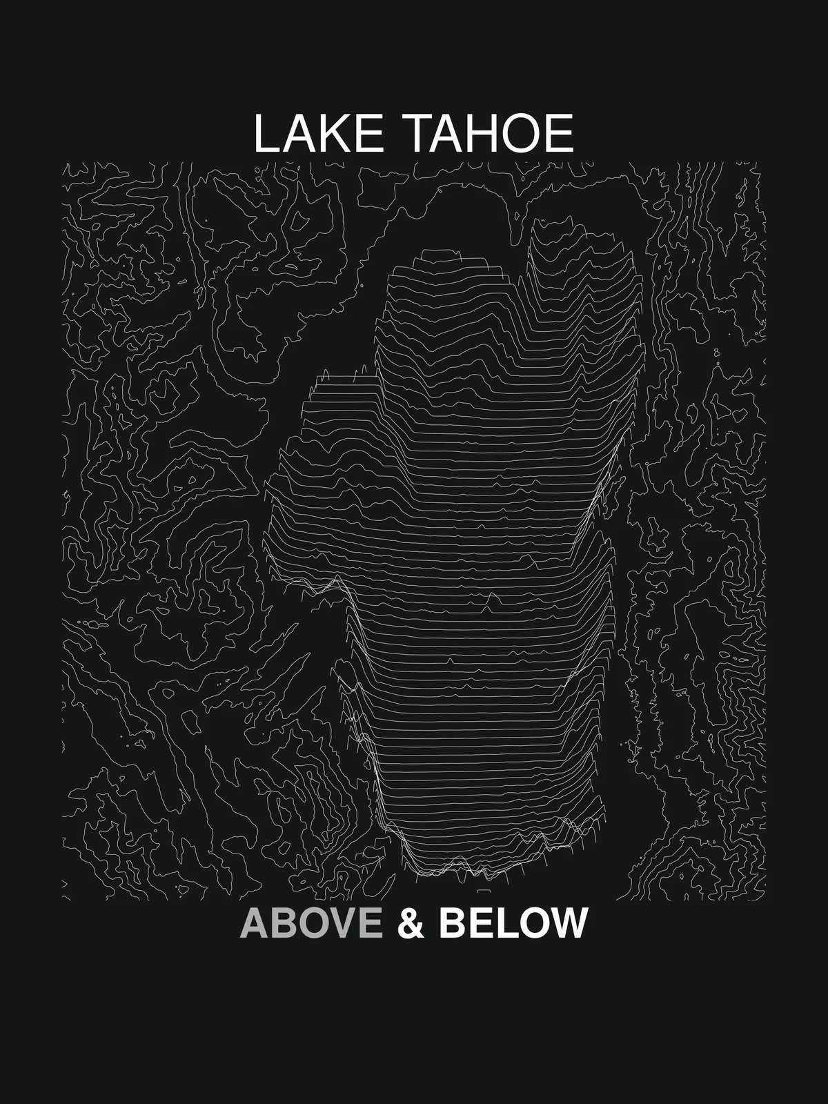
The plates
5 drawings · 2 inks · printed to order
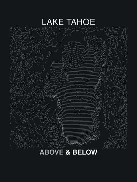
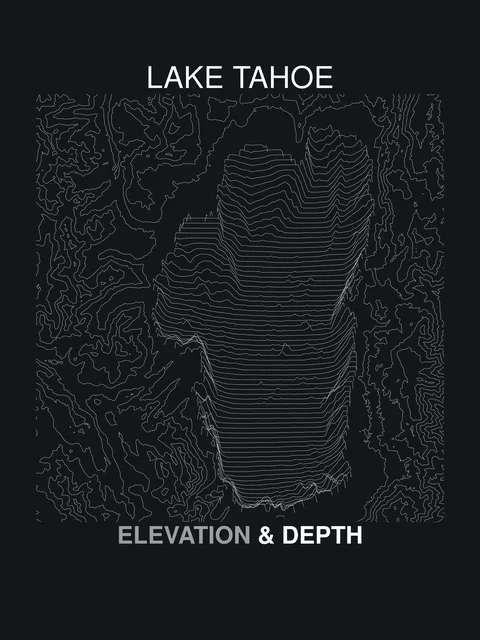
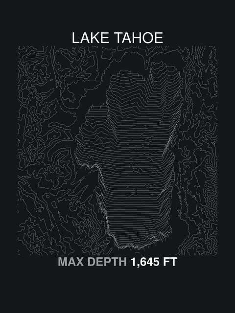
Below the surface
Every line is a measurement.
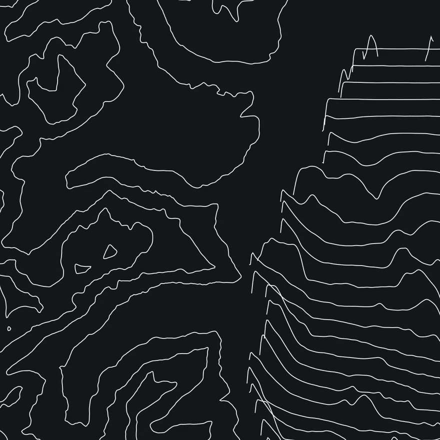
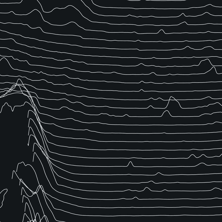
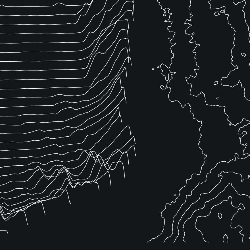
Shown at 100% of print scale. Land contours trace equal elevation; the ridgelines inside the lake are echo-sounded depth transects. Nothing is decorative.
−1,645 ft — the bottom of the page
Soundings
Occasional dispatches: new plates, new lakes, and the survey stories behind the lines.