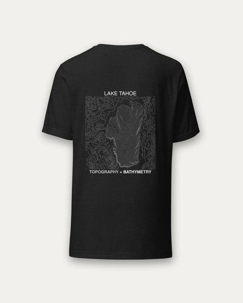
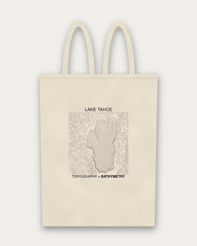
Plate No. 187 · Lake Tahoe series
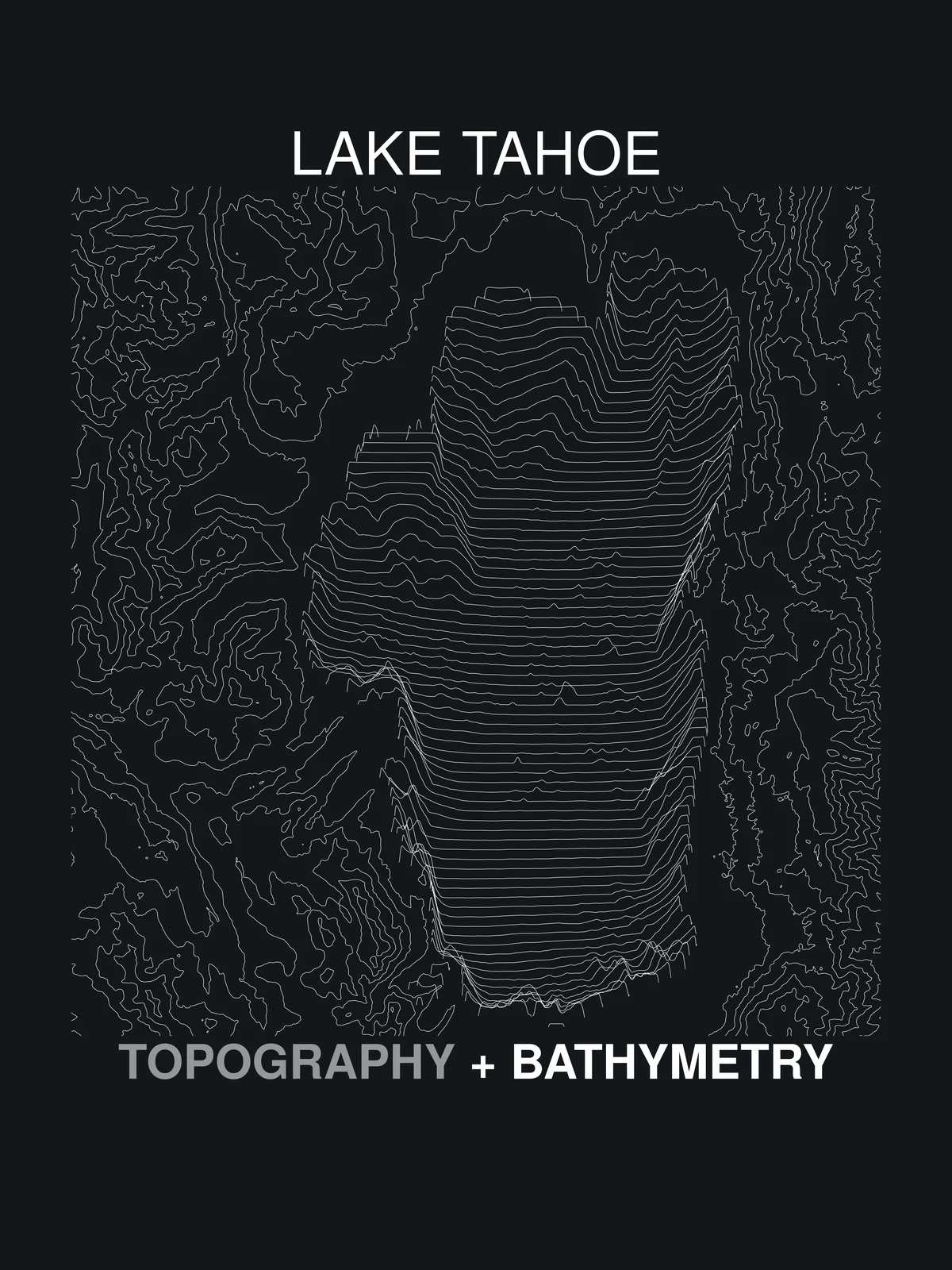
Topography + Bathymetry
The two disciplines named side by side — land-form and water-depth mapping.
Order
Printed to order · ships in 2–5 business days · shipping & tax quoted at checkout.
About this plate
Topography maps the land; bathymetry maps what the water hides. The plate names both practices and gives each its half of the drawing.
- Wording on garment
- TOPOGRAPHY + BATHYMETRY
- Inks
- White on dark · black on light
- 300 dpi, printed to order
- Source
- Public survey data